Every project begins with a discovery call to clarify scope, shot list, asset IDs, and site constraints. We conduct airspace and terrain assessments, review weather windows and NOTAMs, plan RF exposure mitigations, and confirm access, permitting, and safety requirements. A clear method statement and risk plan keeps all stakeholders aligned.
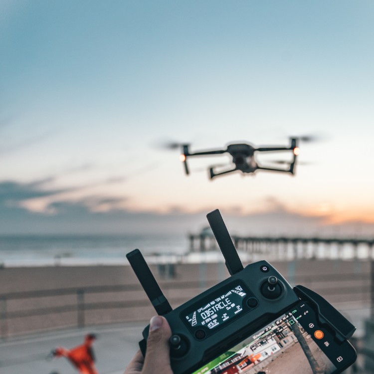
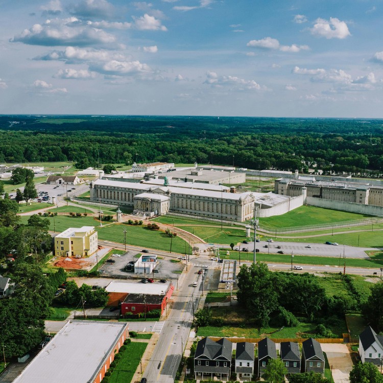
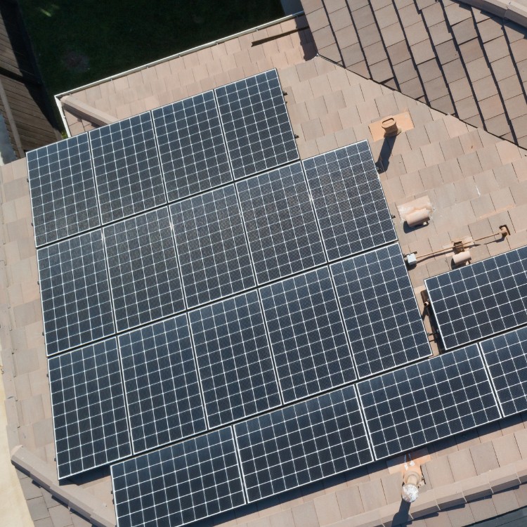
On site, we use checklists, sensor calibrations, and dual-operator workflows when needed to capture consistent, repeatable results. Techniques include oblique detail sets, bracketed exposures, panoramas, and orthomosaics for context, with in-field backups to protect data integrity.
You receive ready-to-use assets on a dependable timeline—often within 24–72 hours. Formats include RAW/DNG, JPEG, and TIFF, with consistent naming, embedded GPS/EXIF metadata, and secure cloud delivery. We support NDAs, offer certificates of insurance, and provide usage licensing aligned with your project requirements.

